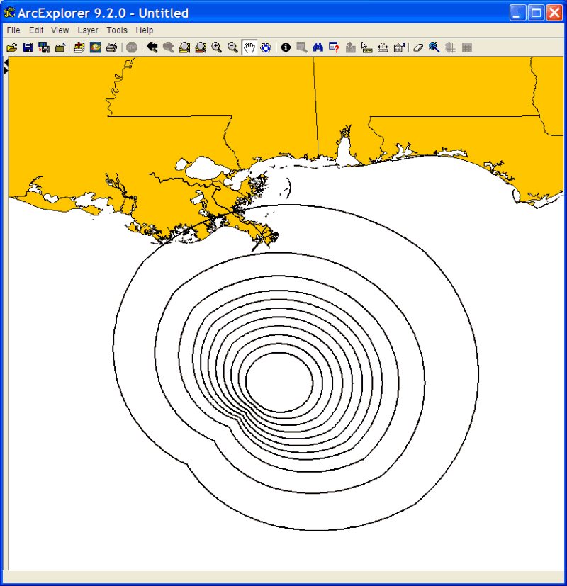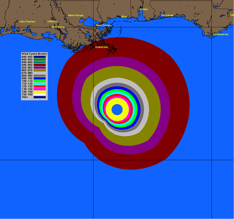
In addition to the fixed 34, 50 and 64 knot wind radii, users will have the ability to export the wind pattern which has up to 16 user defined levels of wind. In the example below The wind pattern from Hurricane Katrina can be exported into a shape file and then imported into your favorite GIS tool, where you can do further analysis.
The shape file as shown by ArcExplorer