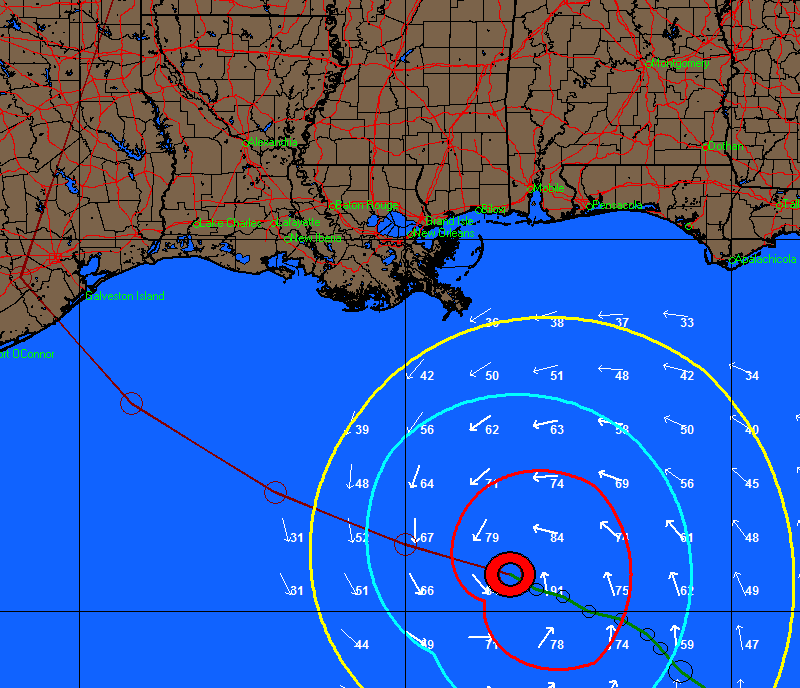
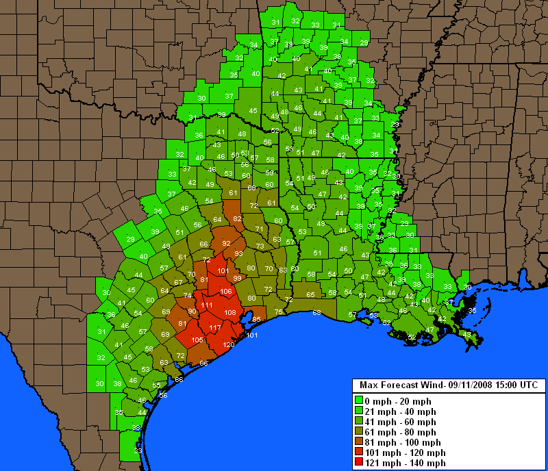
We have added the ability to display counties, major roadways and state border outlines as "layers" on any tracking map. The state borders are particularly useful on tracking maps that also display counties and all thematic type maps.