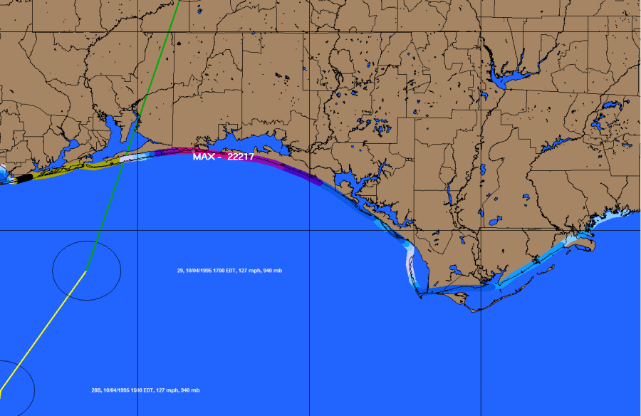
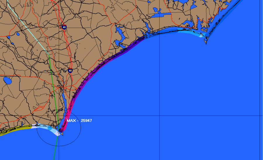
Coastal Flood Index
The HURRTRAK system has the capability to analyze the net onshore wind component for the entire coastline and plot a relative "flood index", an indicator of the forecast or actual areas of maximum coastal flooding. Below are 2 examples of an actual (after the fact) analysis as well as the National Hurricane Center analysis for the same storm.
HURRTRAK Actual Flood Index for Opal
View actual NHC Flood Analysis for Opal
HURRTRAK Actual Flood Index for Fran
View actual NHC Flood Analysis for Fran