


It's early August, Dr Gray has issued his
final forecast, and we are gearing up for
the busiest 2 month period... so it's a good time to do a quick newsletter :-)
2007
Atlantic Season
We have had a few small storms this year.. one can argue that without
satellite imagery, Andrea and Chantal would have never been named.
What we are seeing is a fairly normal hurricane season pattern...
generally quiet until mid August and then taking off quickly from there.
The upper air pattern that develops from now through the end of September
will determine the number and paths of the 2007 tropical cyclones.
Dr. Gray's team has just issued (today) their final forecast for the 2007
season lowering their numbers a bit. The highlights are shown below
while the details are at the end of this web page.
|
Forecast Parameter and
1950-2000 Climatology (in parentheses)
|
December 8, 2006 Forecast for 2007
|
Issue Date
April 3, 2007
|
Issue Date
May 31, 2007
|
Forecast
Activity
After
1 August |
|
Named Storms (NS) (9.6)
Named Storm Days (NSD) (49.1)
Hurricanes (H) (5.9)
Hurricane Days (HD) (24.5)
Intense Hurricanes (IH) (2.3)
Intense Hurricane Days (IHD) (5.0)
Accumulated Cyclone Engery (ACE) (96.1)
Net Tropical Cyclone Activity (NTC) (100%)
|
14
70
7
35
3
8
130
140
|
17
85
9
40
5
11
170
185
|
17
85
9
40
5
11
170
185
|
13
75
8
35
4
10
149
156
|
New Training Video
If you purchased the 2007 version of the software, and have not done so
already, you will want to watch the training video available at
http://www.pcwp.com/training.html . There is one titled
"HURRTRAK 2007 Training supplement" which describes the new features in
2007.
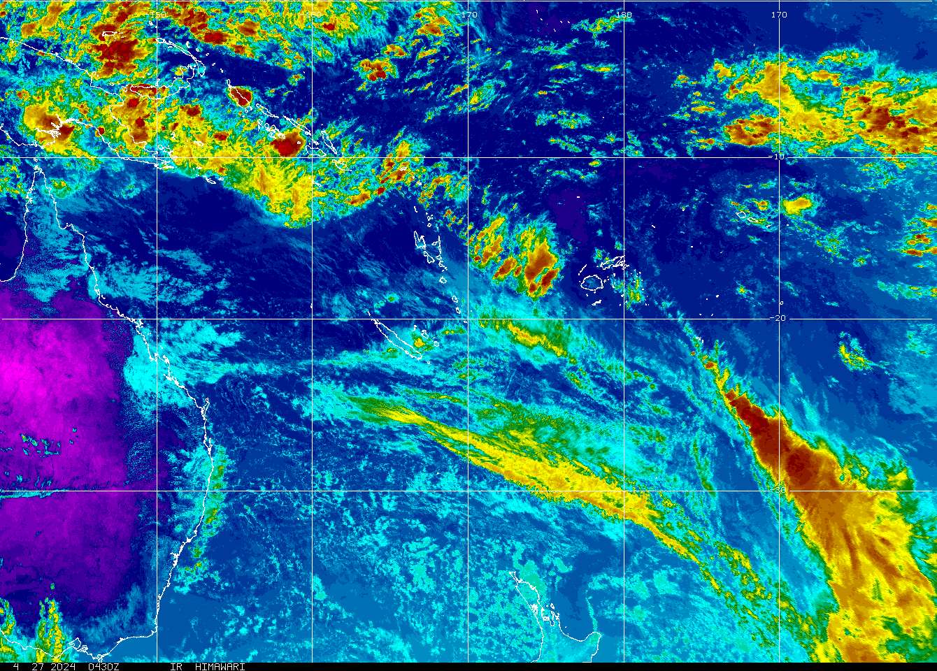
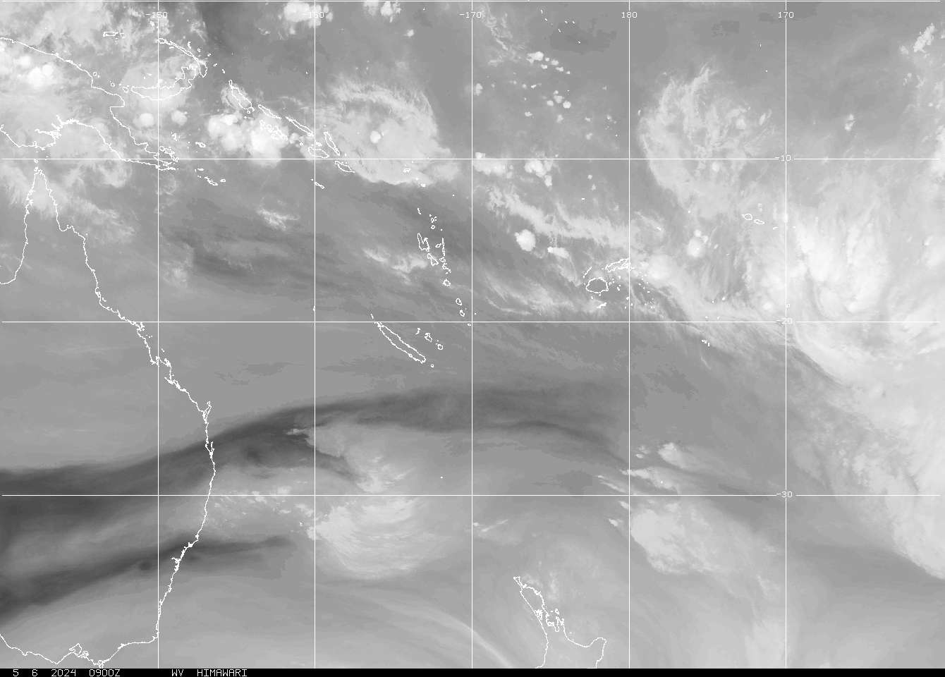
New Sat Images
We have added a few more satellite images to the Hurrtrak system. These can
be used for just viewing via the Internet Tab or can also be used as
tracking maps. The new images include the following..
Atlantic:
http://www.nrlmry.navy.mil/archdat/mediterranean/sahara/vis/LATEST.jpg
http://www.nrlmry.navy.mil/archdat/mediterranean/sahara/ir/LATEST.jpg
http://www.nrlmry.navy.mil/archdat/mediterranean/sahara/vapor/LATEST.jpg
Global:
http://205.85.40.22/sat/hawaii/ir/hawaii_ir.jpg
http://205.85.40.22/sat/hawaii/vis/hawaii_vs.jpg
http://205.85.40.22/sat/hawaii/close/vis/hawaii_cls_vs.jpg
http://www.goes.noaa.gov/sohemi/SHGMSCOL.JPG
http://www.goes.noaa.gov/sohemi/SHGMSWV.JPG
http://www.nrlmry.navy.mil/archdat/indian/southern/vapor/LATEST.jpg
and a few more. Enjoy.
New forecast models
We have added a few hurricane forecast models to Hurrtrak Online data feed so don't
be surprised to see some additional data when plotting the latest set of
models. Don't forget that you can control the color of the plotted
model tracks via the User Options - Plotting (tab 5). In addition
you can specify that you do not want to plot multiple models of the same
type. i.e. do not plot the 06Z GFS and the 12Z GFS.. just the 12Z
GFS.
Tropical Meteorology 101: Wind Shear
Throughout the hurricane season you will hear about wind shear and how it
may impact the development or intensity of a storm. What is wind shear
and why does it matter? We will look at the definition and 2
scenarios... First, Wind Shear is the difference in wind speed and
direction for a particular location/area between different levels of the
atmosphere, typically 5000' and 35,000' for tropical cyclone analysis.
For example if you have a 20 mph east wind at 5000' and a 20 mph west wind
at 35,000', the wind shear is 40 mph. Another example would be a 25 mph
east wind at 5000' and 25 mph east wind at 35,000'... this would result in
a wind shear value of zero (0). The wind direction is an important part
of the equation!
Is there some wind shear that is worse than others.. The answer is yes and
that is why you need to look a little deeper into the type of wind shear
you may have. Let’s look at a few shear scenarios.
Developing Storm:
#1 - Lets say you have a low pressure center at the low levels moving into
the Caribbean near the Lesser Antilles. If the winds at 5000' in the
Caribbean ahead of it are 25 mph from the east but the upper level winds
(35,000') are 10 mph from the west, it would appear that 35 mph wind
shears in the Caribbean will not allow our low pressure to develop. That
however may not the case because as the low pressure moves into the
Caribbean we will have a circulation around a low pressure with east winds
to the north and west winds to the south averaging out to a westerly
component wind of approximately zero. Lets say we maintain our 10 mph
westerly wind at 35,000'. The overall shear value will change from 35 mph
to an average of 10 mph (the value of the 35,000' wind). Shear will not
have a large impact on this system even though our shear charts implied
otherwise a day earlier.
#2 - Let change this scenario a bit... Let’s say we have the same low
pressure system entering the Caribbean. The winds are 5000' in the
Caribbean are light and variable but the 35,000' winds are blowing 35 mph
from the west. Guess what, our shear chart will look the same as in the
above example but the consequences of the upper level winds causing all of
the wind shear is huge. Our low pressure will likely not develop as these
35 mph upper level winds will "blow" the tops off of the thunderstorms not
allowing a deep tropical cyclone type circulation to develop.
So the lesson here is ... do not just look at the value of the shear on
the shear charts but also the reason for the values... i.e. are they
caused by high upper level wind speeds or high lower level winds.
Hurrtrak 2007 update
The latest release for the 2007 versions is 18.03. If your help
about shows anything less than you should download and apply this update
available at
http://www.pcwp.com/program-updates.html .

A few Hurrtrak Tips...
(TIP) All users
Occasionally I get a support request like the following.
"My 2007 database has storms in it from other
years, what happened".
In order
for this to happen, someone must have downloaded an earlier season's data
via the Hurrtrak Online option while the 2007 database was the current
one. When you download past storm data it will ALWAYS load
into the current storm database. It is important to know that the
system does not know that most people use the YEAR as the storm database
name. You can create storm databases with any name you like (up to
12 characters).. i.e. GOOFY, SLEEPY, etc. :-). So if you are
downloading past years storm data, always make sure that the current
database is set to the one you want that data to go into.
Note... the system comes pre-installed with the earlier year's data so
downloading past storm data should not be necessary unless you have
accidentally deleted some data or you are building a new test/exercise
database. OH.. by the way, the best way to correct the problem
mentioned above, is to go to the System setup option and delete the 2007
database, recreate a 2007 database, then download using the option
“retrieve all past storm data for 2007” via the Hurrtrak Online tab.
(TIP) Global Users
If you use the Global version of the Hurrtrak Software, you may be better
off not selecting the "use the Western Pacific and Indian Ocean long
names" option in the User Options - Hurrtrak Online preferences.
Your names will be the code for the storm, i.e. 04W instead of MAN-YI but
it will prevent some problems when the Joint Typhoon Warning Center uses
their generic name for a developing system "NONAME". The system has
in some cases tried to merge multiple NONAME storm files into one causing
some confusion.
(Tip) VISTA users
The 2007 install reminds VISTA users to disable UAC (User Account Control)
before installing. If you did not upgrade to 2007 and am
reinstalling 2006 versions of Hurrtrak, you will not get the same reminder
(Vista was not tested in 2006). So here is it.. To install the
Hurrtrak system onto a Vista operating system, you must disable UAC before
installing. After you have completed the install you may enable UAC
again. For more information on UAC, look at your VISTA online
documentation.
Planning: Next year's National Hurricane
Conference
The planning folks at the National Hurricane Conference (www.hurricanemeeting.com)
tried to move the conference somewhere else in 2008 but decided to stick
with Orlando, Florida again. Mark your calendars for March 31st -
April 4th at the Rosen Centre Hotel. The Florida Conference will be
Fort Lauderdale again in May.
New Klotzbach and Gray forecast:
Philip J. Klotzbach & Dr. William Gray's
UPDATED
EXTENDED RANGE FORECAST OF ATLANTIC SEASONAL HURRICANE
ACTIVITY AND
U.S. LANDFALL
STRIKE PROBABILITY FOR 2007
(as of August 3,
2007)
|
2007
ATLANTIC
BASIN HURRICANE
SEASON FORECAST |
|
Philip J. Klotzbach and Dr. Gray’s
team have lowered their seasonal forecast slightly; however, they
continue to call for a very active Atlantic basin hurricane season
in 2007. Landfall probabilities for the United States coastline
remain above their long-period averages.
|
Forecast Parameter and
1950-2000 Climatology (in parentheses)
|
December 8, 2006 Forecast for
2007
|
Issue Date
April 3, 2007
|
Issue Date
May 31, 2007
|
Forecast
Activity
After
1 August |
|
Named Storms (NS) (9.6)
Named Storm Days (NSD) (49.1)
Hurricanes (H) (5.9)
Hurricane Days (HD) (24.5)
Intense Hurricanes (IH) (2.3)
Intense Hurricane Days (IHD) (5.0)
Accumulated Cyclone Engery (ACE) (96.1)
Net Tropical Cyclone Activity (NTC) (100%)
|
14
70
7
35
3
8
130
140
|
17
85
9
40
5
11
170
185
|
17
85
9
40
5
11
170
185
|
13
75
8
35
4
10
149
156
|
PROBABILITIES FOR AT LEAST
ONE MAJOR (CATEGORY 3-4-5) HURRICANE LANDFALL ON EACH OF THE
FOLLOWING COASTAL AREAS:
1) Entire U.S. coastline -
68% (average for last
century is 52%)
2) U.S. East Coast Including
Peninsula Florida - 43%
(average for last century is 31%)
3) Gulf Coast from the Florida
Panhandle westward to Brownsville -
44% (average forecast last century is
30%)
4)
Above-average major hurricane landfall risk in the
Caribbean
- ABSTRACT -
Information obtained through July 2007 continues to indicate that
the 2007 Atlantic hurricane season will be more active than the
average 1950-2000 season. We have reduced our forecast slightly
from our early April and late May predictions. We now estimate
that 2007 will have about 8 hurricanes (average is 5.9), 15 named
storms (average is 9.6), and 4 intense (Category 3-4-5) hurricanes
(average is 2.3). The probability of U.S. major hurricane
landfall is estimated to be about 130 percent of the long-period
average. We expect Atlantic basin Net Tropical Cyclone (NTC)
activity in 2007 to be about 160 percent of the long-term average.
This early August forecast is based on a newly devised extended
range statistical forecast procedure which was developed on 40
years of past global reanalysis data and is then tested on an
additional 15 years of global reanalysis data. In addition, this
new statistical forecast procedure has shown comparable skill
during the first half of the 20th century. Overall, the scheme
explains over 50 percent of the variance in Net Tropical Cyclone
activity from 1900-2005.
We have lowered our forecast from our early April and late May
predictions due to slightly less favorable conditions in the
tropical Atlantic. Sea surface temperature anomalies have cooled
across the tropical Atlantic in recent weeks, and there have been
several significant dust outbreaks from Africa, signifying a
generally stable air mass over the tropical Atlantic. ENSO
conditions have trended slightly cooler over the past few weeks.
We expect either cool neutral or weak La Niña conditions to be
present during the upcoming hurricane season. Our final forecast
is a combination of our statistical forecast, an analog forecast
technique and qualitative adjustments based upon other atmospheric
and oceanic patterns that are not implicitly considered in our
quantitative approaches.
|
Finally, a sales pitch.... If you need any
additional products and services from PC Weather Products, or know someone
else who can benefit, please do not hesitate to contact us at 800 605-2230
or contact me at george@pcwp.com.
Sincerely,
George
Sambataro
President
PC Weather Products