Pan and Zoom tracking charts
In addition to the standard tracking charts, the system now allows the user to select any size and scale tracking map they desire. Through the use of the mouse, they can pan out to a large scale map or zoom in to reveal extremely detailed street level mapping.
Below are a series of screen
images
that demonstrate how this new function works.
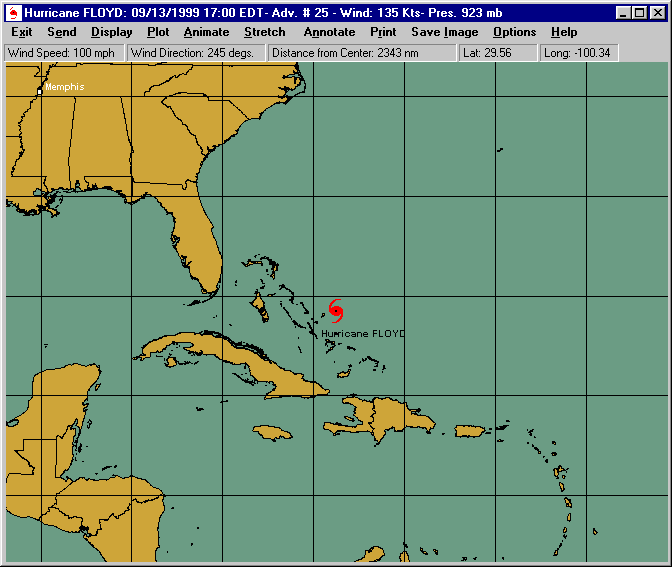
When the "Pan and Zoom" option is selected, the system automatically selects a large
scale map centered at the storm's current position. In this case, Hurricane Floyd in
1999.
The user can then choose a smaller map area.
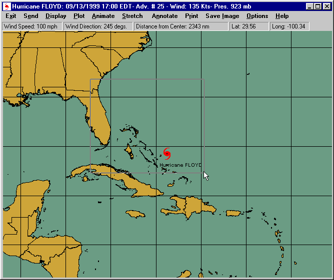
The map area is then depicted.

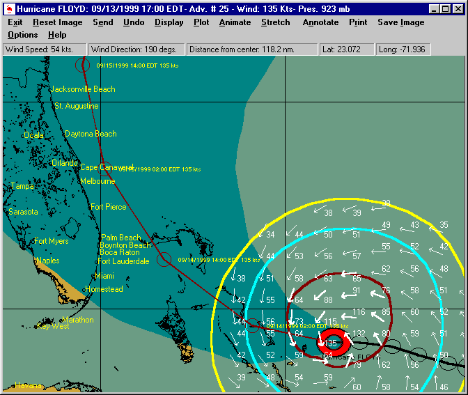
The user then selects some of the
tracking options. In this case, the current track as well as the forecast
track with average error is shown.
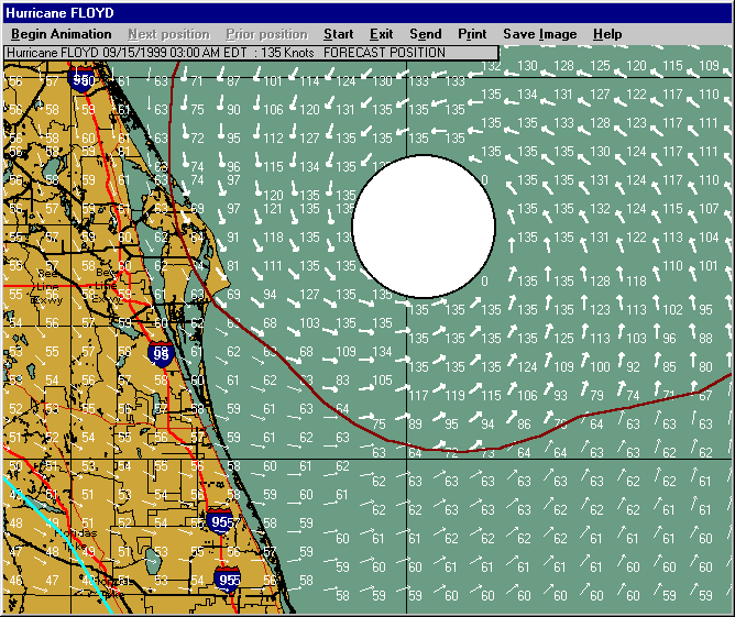
If the user keeps zooming down, additional map
detail will appear*. In this case, the Cape Canaveral area is shown at a
map diameter of about 130 miles.
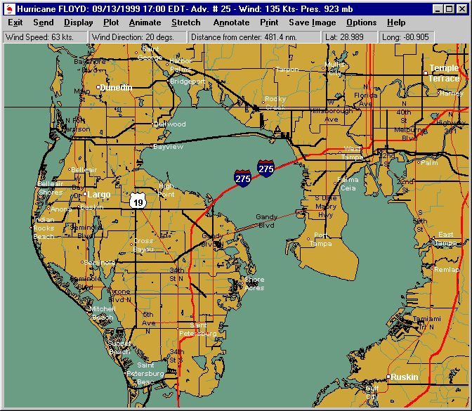
Although the next image is not related to Hurricane Floyd, it is included to show the additional
map detail that appears as the user zooms down even further*. This of
course is the Tampa Bay, Florida area.
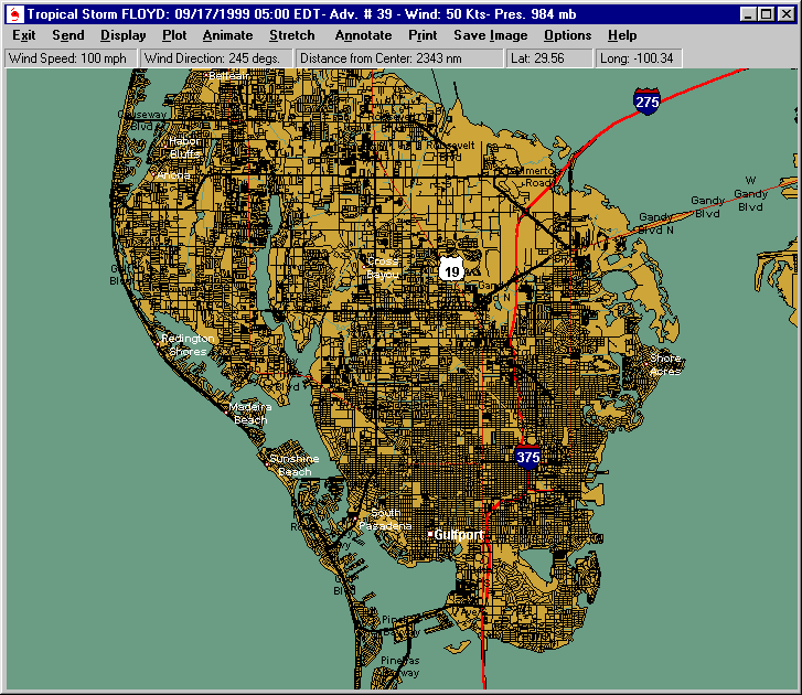
Finally, as the map scale becomes even smaller, street level detail maps will
appear*. St. Petersburg, FL is shown below.
This function adds considerable flexibility to the current mapping capabilities of the system.