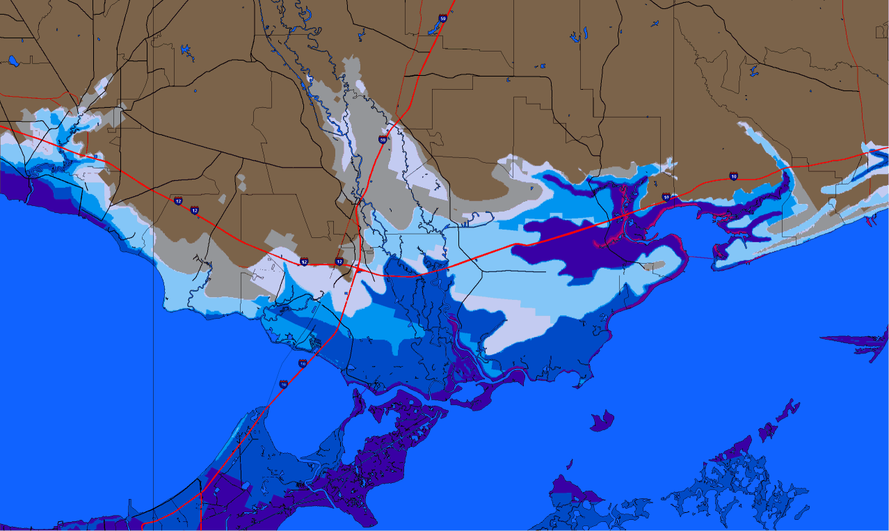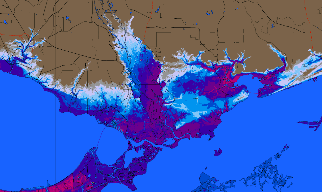
We have improved the elevation database that the Hurrtrak system uses in the SLOSH inundation analysis 9X. The 90 meter resolution has been replaced by the 30 meter resolution data. The results are astounding. The following image shows a SLOSH inundation analysis using the 2007 system and then below it an image for the identical area using the 2006 SLOSHVIEW system. The finer resolution of the 2007 database allows for more detailed analysis of storm surge flooding potential.
Image using the new 30 meter
elevation data
Image using old 90 meter
elevation data